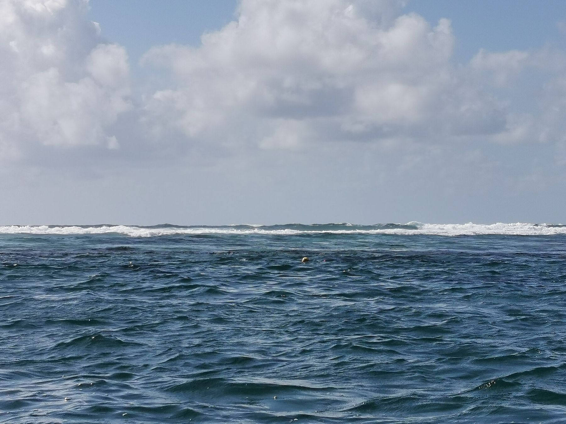
Stand on the beach at Puerto Morelos and look east. A few hundred metres out, a white line of breaking water runs parallel to the shore. That line is the reef crest, and the strip of blue-green water between it and the sand is the lagoon most visitors come to snorkel. Few places on this coast put a living reef this close to a town, and few look after it as carefully.
This entry covers the national park that protects the reef, how a guided snorkel here usually runs, what lives in the lagoon, and the leaning lighthouse that has become the town's emblem. Conditions described are typical, not promised. The sea changes daily, and the boat captain decides where, and whether, you go in.
A reef inside a national park
The reef off Puerto Morelos is part of a federal marine protected area, the Puerto Morelos Reef National Park, which covers the reef tract and the lagoon along this stretch of coast. It is one piece of the long reef system that runs south from the tip of the Yucatán Peninsula, described in the entry on the Mesoamerican Reef. Here the reef is a fringing reef: it grows parallel to the coast, with a shallow back-reef lagoon on the landward side and deeper water beyond the crest.
Protection shapes everything about a visit. Snorkelling in the park is done with a licensed operator and a guide, from boats that tie to fixed moorings rather than drop anchor. Entry is limited to marked zones, and a park fee is usually collected, often in the form of a wristband. Fee amounts, permitted zones and group sizes are set by the park authority and do change, so check before you go.
The rules follow the same logic as those in Cozumel, described in the marine park rules entry: no touching, no standing on coral, no feeding, no collecting, and no gloves. A life vest is commonly required for snorkellers, whatever your swimming ability. It keeps you floating flat at the surface, which keeps your fins off the coral.
How a guided snorkel usually runs
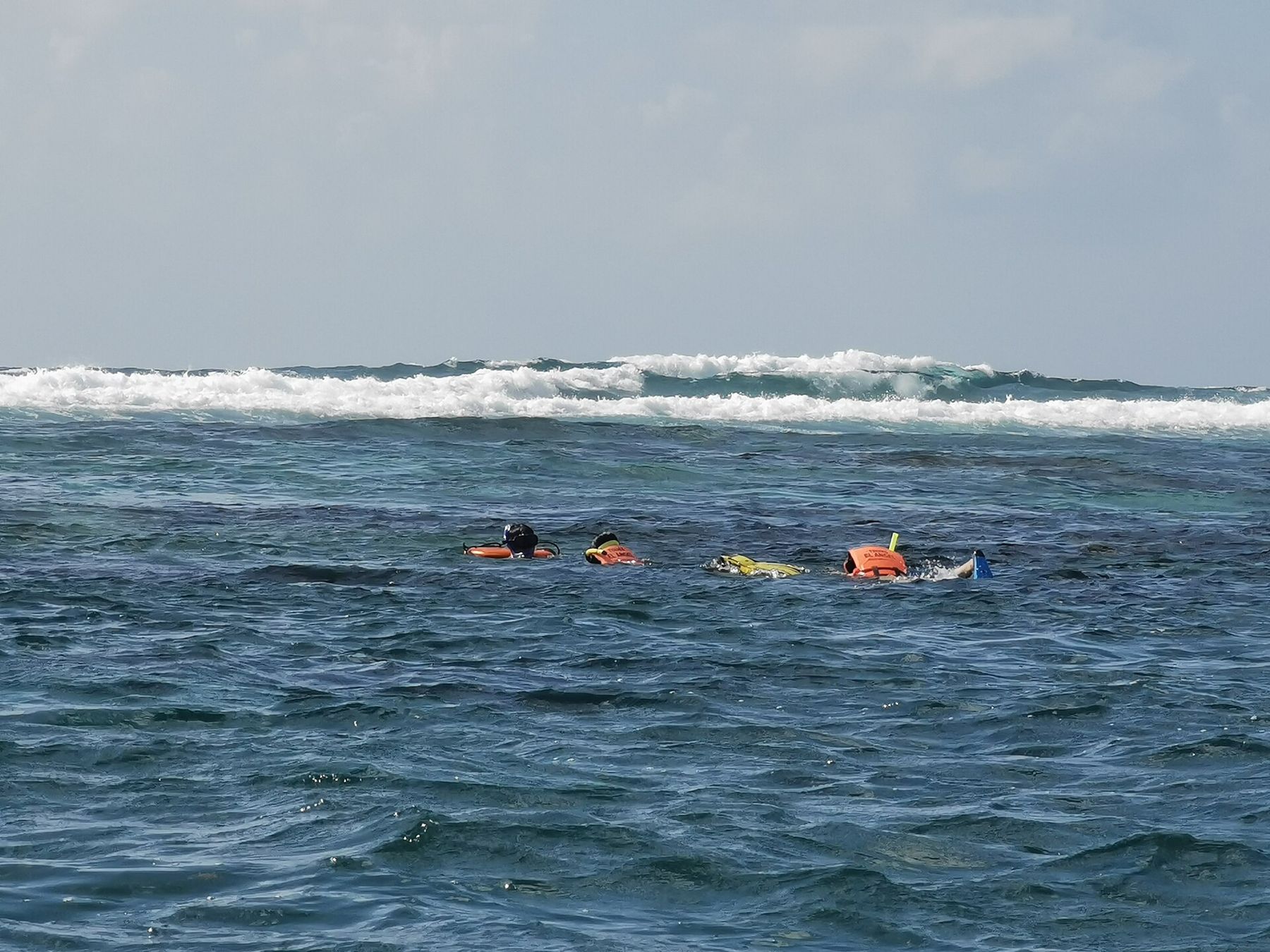
Most snorkel trips leave from the beach beside the town pier. The boat is small, the ride is short, and the stop is in the lagoon or just inside the crest. A guide briefs the group on board, explains the route and the hand signals, and swims with you. Groups stay together; you follow the guide's float and the guide follows the conditions.
Expect a route of one or two stops, each perhaps half an hour to forty minutes in the water, though times vary with the group and the day. Depth in the snorkel areas is shallow, from a metre or two over the coral heads to around six metres in the sand channels. That shallowness is the reason for the care. A careless fin kick here lands on living coral rather than on open water.
Wind is the main thing that changes the day. The reef crest takes the swell, so the lagoon is often calmer than the open sea, but a strong easterly or a norther can push chop and surge over the crest and stir the sand. On those days visibility drops and the captain may move the group, shorten the swim, or cancel. The port captain can close the harbour to small boats in bad weather. Treat any trip as provisional until you are on the water.
A careless fin kick here lands on living coral rather than on open water.
What lives in the lagoon
The lagoon floor is a mix of seagrass, sand and scattered coral heads, with the reef proper rising toward the crest. Seagrass is easy to overlook, but it is a nursery for many reef fish and a feeding ground for green turtles, which sometimes graze here as they do at Akumal.
On the coral heads, look for schools of grunts and snappers holding in the shade, blue tangs grazing in loose groups, parrotfish scraping at algae, and sergeant majors guarding patches of rock. Spotted eagle rays and southern stingrays sometimes cross the sand channels. Barracuda hang motionless just under the surface and are no threat if left alone.
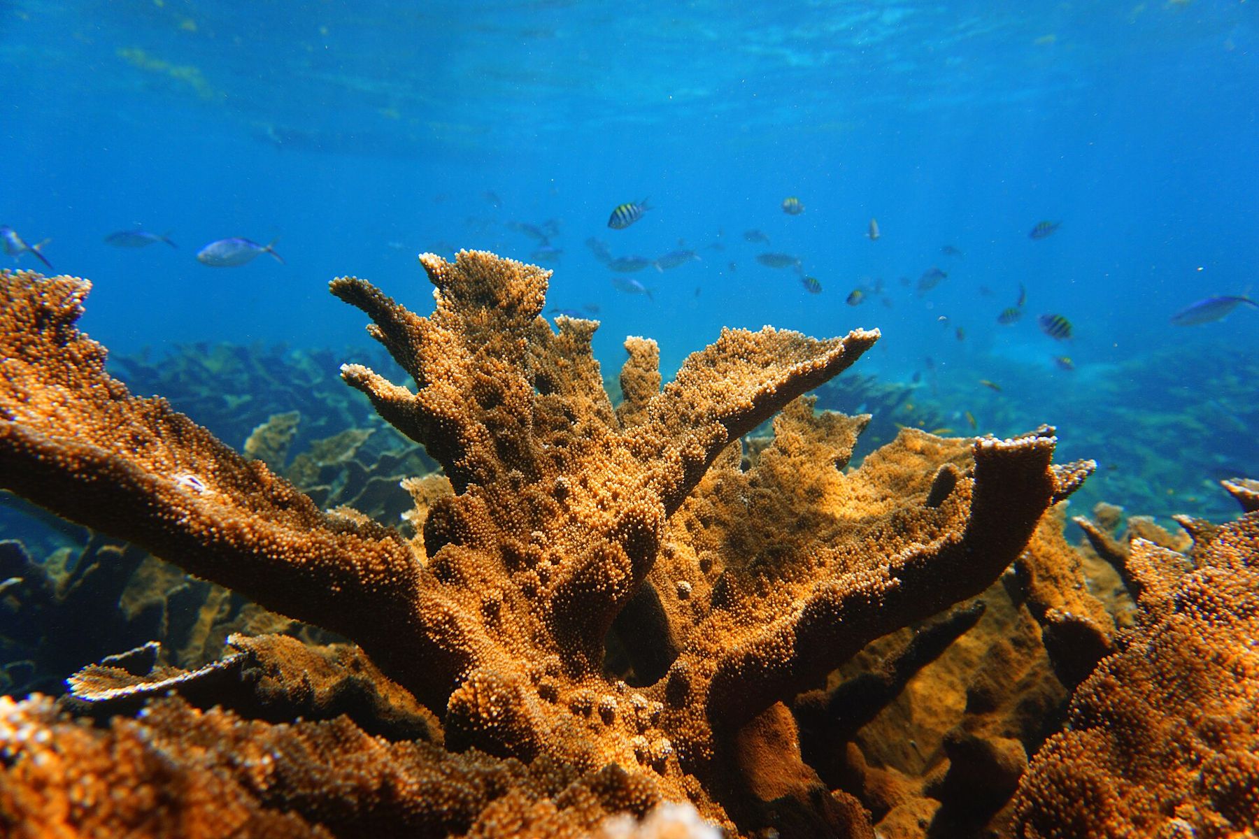
Elkhorn coral, the broad, antler-shaped species that once dominated shallow Caribbean reef crests, still grows here in patches. It has declined across the region for decades, which is part of why the park exists. Brain corals, star corals and sea fans fill in the rest. Some colonies show pale or bleached patches, especially after hot summers, and the reef has been affected by stony coral tissue loss disease since it reached this coast. None of that makes the reef less worth seeing. It makes the no-touch rule more important.
The leaning lighthouse
On the waterfront stands Puerto Morelos's best-known landmark: an old lighthouse tilted at a steep angle. A hurricane in 1967 knocked it off true, and rather than straighten or demolish it, the town built a new lighthouse beside it and left the old one leaning. It has stood like that for decades, and it now appears on postcards, signs and souvenir T-shirts.
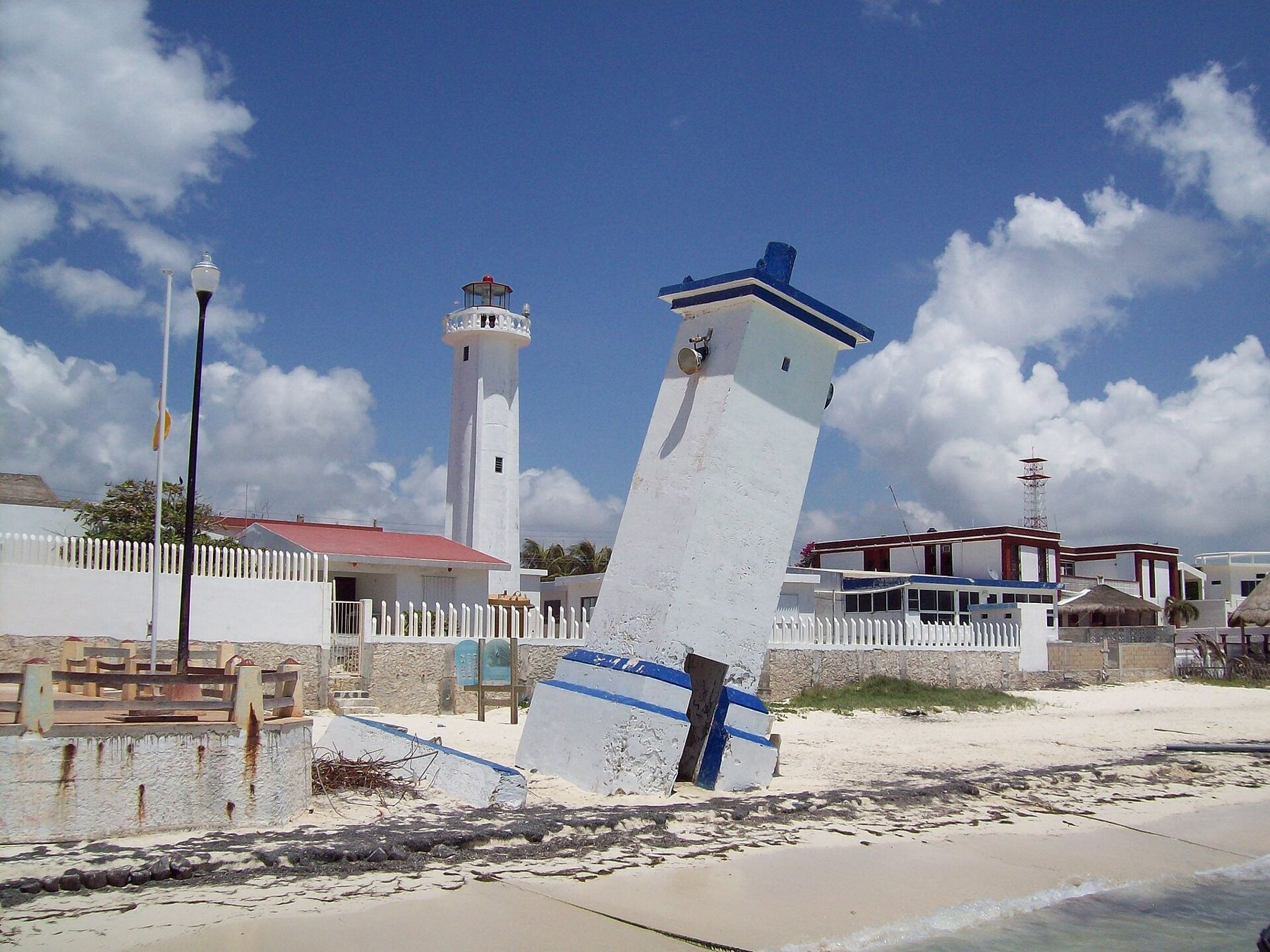
The lighthouse is a short walk from the central square and the pier, so most people pass it on the way to or from the boat. It makes a good meeting point and a reminder of what storms do on this coast. The same hurricane seasons that tilted the tower also break coral, and reefs here recover over years, not weeks.
Planning a calm visit
Puerto Morelos sits on the coast highway between Cancún and Playa del Carmen, with the town itself a short drive east of the highway toward the sea. Buses and colectivos that run the coast stop at the highway junction, and taxis cover the last stretch.
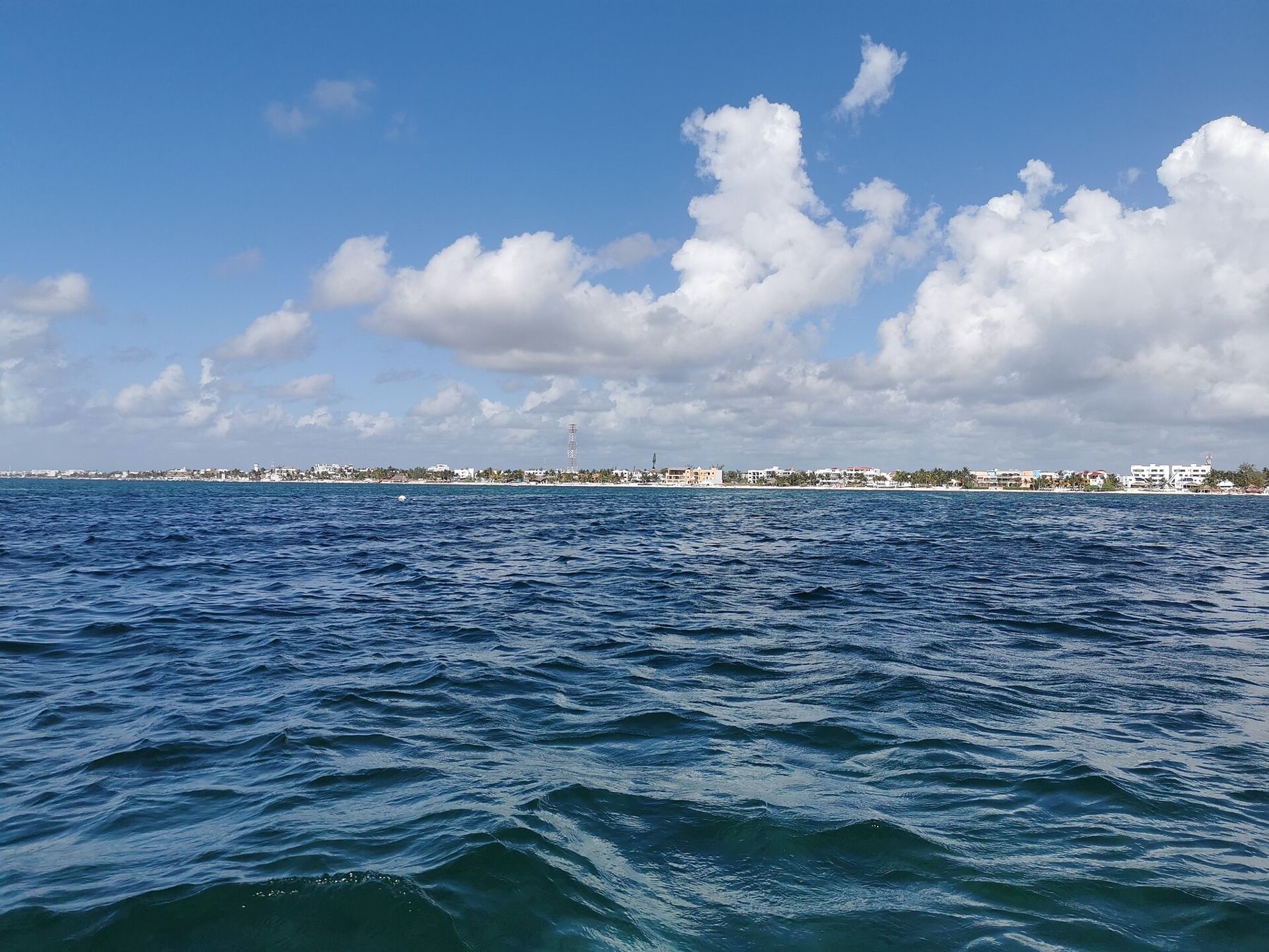
Calm, sunny mornings give the best visibility and the gentlest surface. Spring often brings settled weather, while late summer and autumn bring the risk of tropical storms and winter brings northers. Sargassum seaweed can wash onto the beach in heavy years, mostly in the warmer months, though it rarely affects the water over the reef as much as the shoreline. The month-by-month water entry covers the seasons in more detail.
What to bring is simple. A long-sleeved rash guard protects your back from the sun better than any lotion. If you use sunscreen, choose a mineral one and put it on well before you board, so less of it washes off into the lagoon. A mask that seals properly matters more than any other piece of gear; rental masks are fine if you test the fit before leaving the beach.
Above all, listen to the briefing. The guide knows where the coral is shallowest, where the current runs through the cuts in the crest, and where the group should turn back. On this reef the guide is not an optional extra. The guided format is how the park keeps a shallow, much-visited reef alive, and how a snorkel in a lagoon with surf on one side stays an easy morning.
Who shot these frames
- ProtoplasmaKid, CC BY-SA 4.0
- ProtoplasmaKid, CC BY-SA 4.0
- Rulotrsurf, CC BY-SA 4.0
- Jaontiveros, CC BY-SA 3.0
- ProtoplasmaKid, CC BY-SA 4.0