Current logged as strong: reading an entry explains what that word means here.
At the southern tip of Cozumel the island narrows to a low point of limestone, scrub and white sand, and the two coasts meet. The west side's sheltered water ends here and the open sea of the east side begins. Punta Sur, the southern point, is where the calm diving coast turns into something rougher, and where the island's best-known protected area on land sits next to some of its most demanding water.
This entry covers both: the reef offshore, which is a dive for experienced divers on the right day, and the park on land, which almost anyone can visit.
The reef offshore
Off the southern tip, the reef runs along the edge of the shelf in deeper water than most of the west-side sites. Coral formations here are large and broken by tunnels and overhangs, with deep sand between them and a steep fall into open water beyond.
What makes Punta Sur demanding is not the coral but the water around it. The current that runs north along the west coast is shaped by the southern tip, and here it can be strong, change direction during a dive and bend around the formations. Swell from the open side can reach the area when the wind is from the east or south.
For those reasons Punta Sur is usually offered only to experienced divers with good air consumption and drift experience, and only when the captain and the guide judge the day right. It is common for a planned Punta Sur dive to be swapped for a calmer site such as Colombia reef just to the north. If that happens, it is the right call.
A dive at the southern tip is something you are offered on a good day, not something you insist on.
Depth and the deep swim-throughs
Some of the formations off the point have long, deep swim-throughs that are famous among divers. They sit at depths that suit advanced training only, and they are dived with a guide who knows them. Cave and cavern diving is outside the scope of this guide; the point here is simply that the southern reef is a deep, structured site where depth and gas planning matter more than usual.
Agree the maximum depth at the briefing, watch your computer, keep the guide in sight, and dive within your training and your computer's limits. A surface marker buoy is essential, because pickups at the tip can happen in open, choppy water.
The park on land
On land, the southern tip is part of a protected eco-park run by the island's authorities. It covers the coast from the lighthouse to the lagoon and a stretch of beach, and it charges an entry fee. Opening days, hours and fees change, so check before you go.
The road there is the coastal road that runs south from San Miguel and round the tip to the east side. Public buses do not usually run to the park; visitors tend to come by rented car, scooter, bicycle or taxi. The last stretch inside the park may be on park transport rather than your own vehicle, depending on current arrangements.
A dive at the southern tip is something you are offered on a good day, not something you insist on.
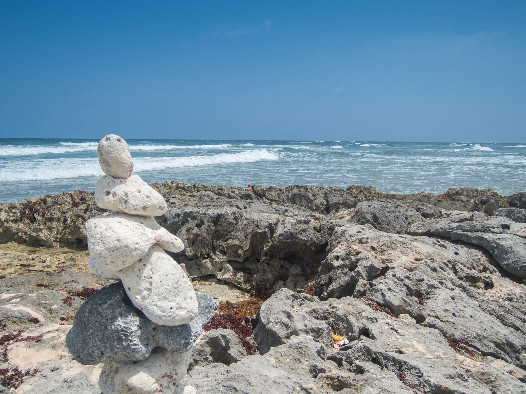
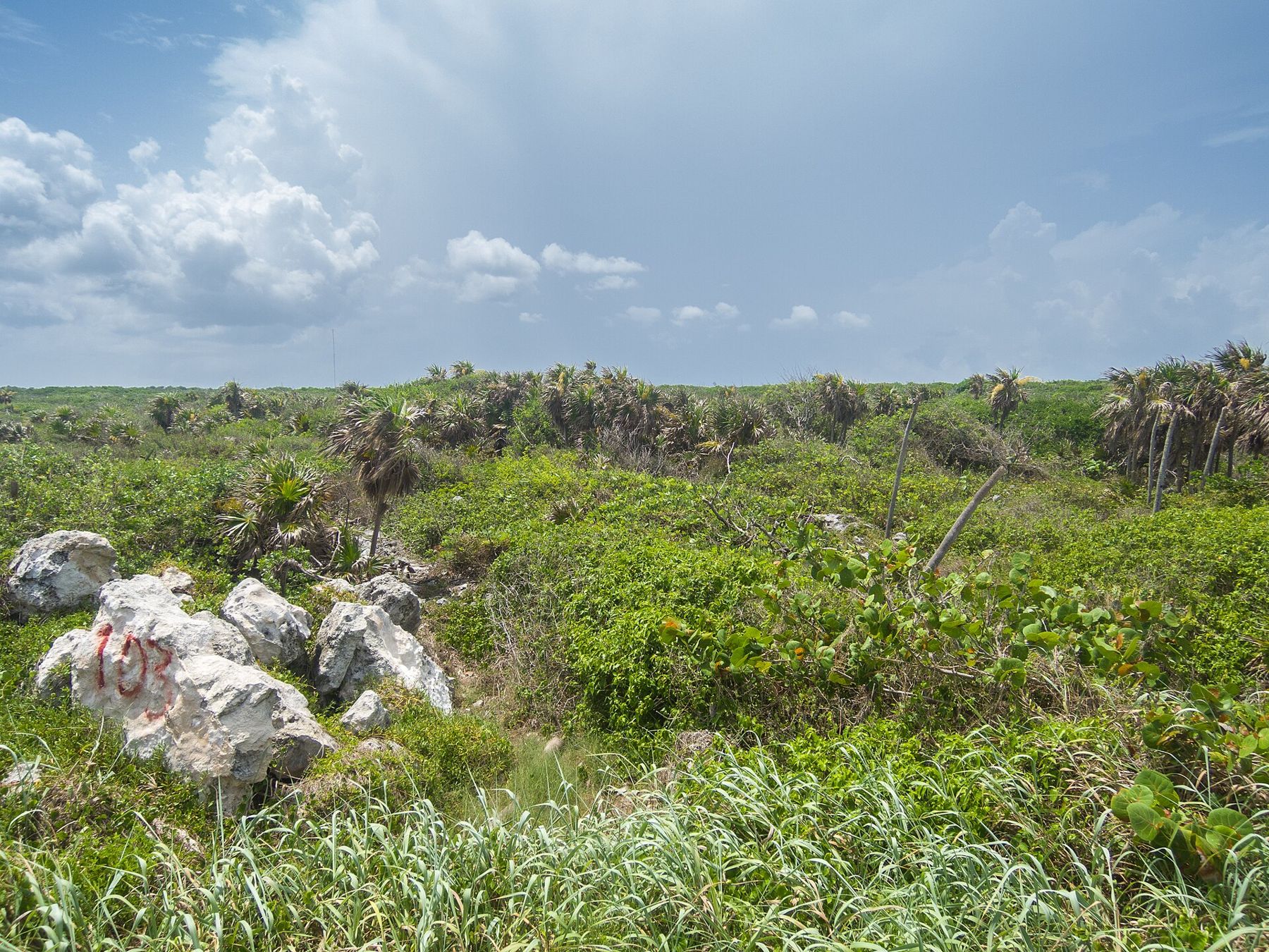
The land is low and dry: limestone, fan palms, sea grape and dense scrub. It feels very different from the town and the west-coast beach strip, and in quieter months you can walk for a while without seeing many people.
The scrub and mangroves are good country for birds and small animals. Frigatebirds hang over the coast on the wind, wading birds work the edges of the water, and lizards bask on the warm rock. Coatis and other small mammals live on the island and are sometimes seen near roads and paths. Do not feed any of them.
A visit to the park takes most of a morning or an afternoon. There is little shade in places, and the sun on the white rock and sand is strong. Bring more water than you think you need, a hat and a light long-sleeved layer, and plan to arrive early in the day, when it is cooler and the wildlife is more active. Binoculars make a real difference at the lagoon.
Celarain lighthouse and Colombia lagoon
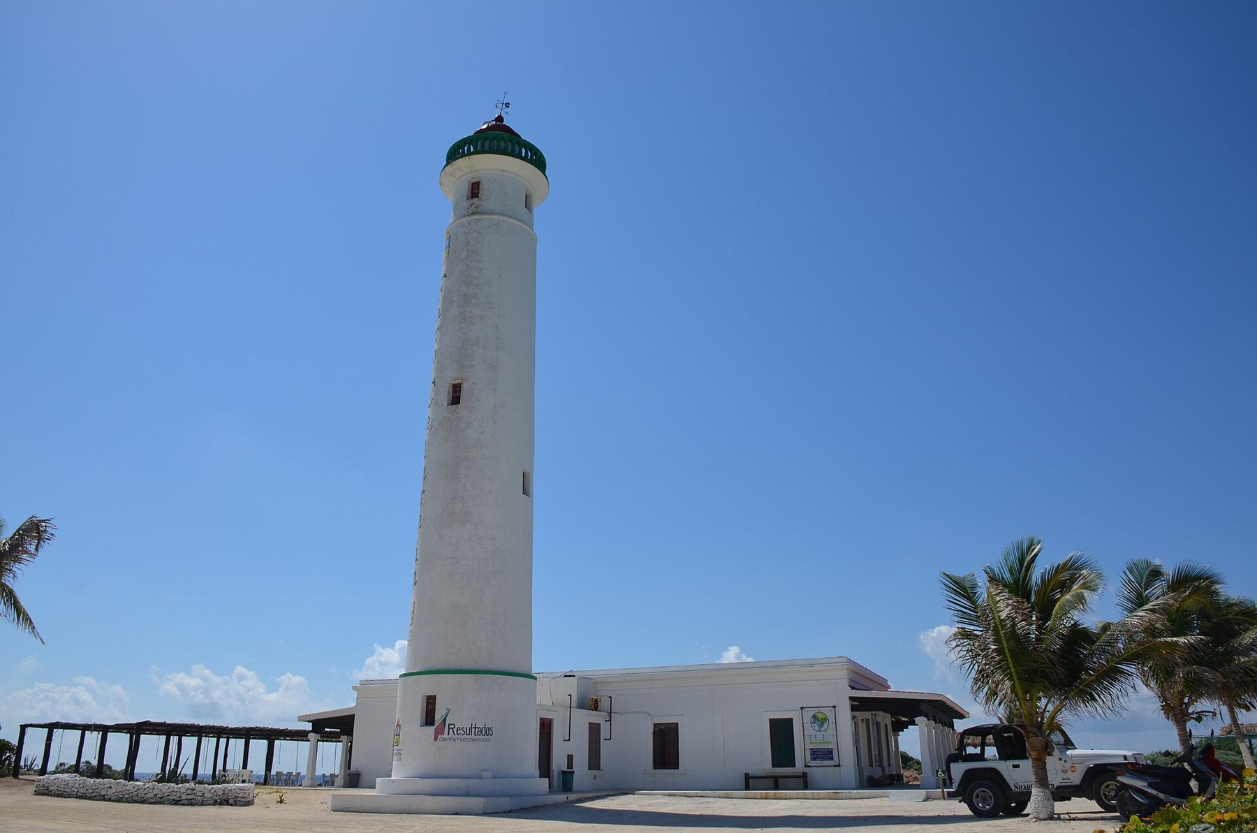
The Celarain lighthouse stands near the tip and is the landmark of the park. A small museum of navigation has operated in the lighthouse keeper's building in recent years. When access is open, climbing the lighthouse gives a view over both coasts, the reef line and the lagoon. Access and opening times change, so check before you go.
Colombia lagoon lies behind the coast within the park, a shallow body of brackish water fringed by mangroves. American crocodiles live in it, and the lagoon is also good for wading birds such as herons, egrets and, at times, other waterbirds. Viewing is from the shore or from observation points; swimming in the lagoon is not part of a visit, and crocodiles should be watched from a distance and never fed.
A small Maya structure stands in the park as well. The ruins of Cozumel are covered by a separate guide, so they get only a passing mention here.
Beach and snorkelling at the tip
The park's beach faces the sea near the point and sometimes offers snorkelling over shallow reef close to shore. Whether that is wise depends entirely on the day: when the water is calm it can be pleasant, and when wind or current pick up it is not. Follow any flags or instructions from park staff, wear a vest if you are not a strong swimmer, and stay within easy reach of the beach.
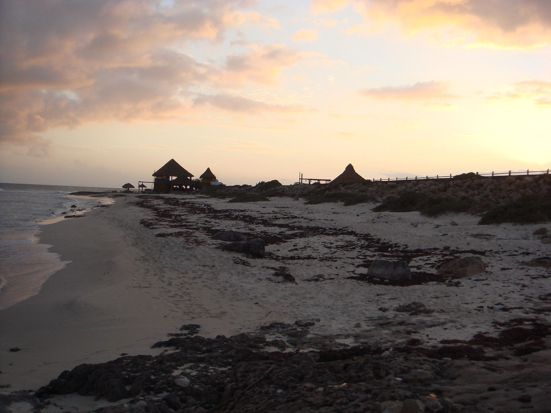
Further round the tip, the coast turns east and becomes the open, surf-beaten shore described in the entry on Cozumel's east side. That side is for looking, not for swimming.
Rules and timing
The offshore reef is inside the Arrecifes de Cozumel National Park and follows its rules: no touching, no gloves, no feeding, nothing taken. The park on land has its own fee and its own rules on where you can walk and swim. Both change from time to time; the entry on the marine park and its rules covers the reef side in general terms.
Calm days are more common in spring and early summer, while the nortes of the cooler months can close the port and bring rough water to the tip. Hurricane season, roughly June to November, brings its own risk of closures. Conditions change daily: the figures in the header are typical, never promised, and the captain, the dive guide and the park staff decide what is safe.
Who shot these frames
- Dronepicr, CC BY 3.0
- dronepicr, CC BY 2.0
- Saúl Peláez S, CC BY-SA 3.0
- ERVIN ESCOBAR, CC BY-SA 3.0