Current logged as strong: reading an entry explains what that word means here.
Warning first: the east coast of Cozumel is not a swimming coast. The water looks inviting, turquoise inside the reef and deep blue beyond, but the surf, the rock shelves and the rip currents make it dangerous for most people most of the time. Many beaches carry warning signs, lifeguards are scarce, and help can be far away.
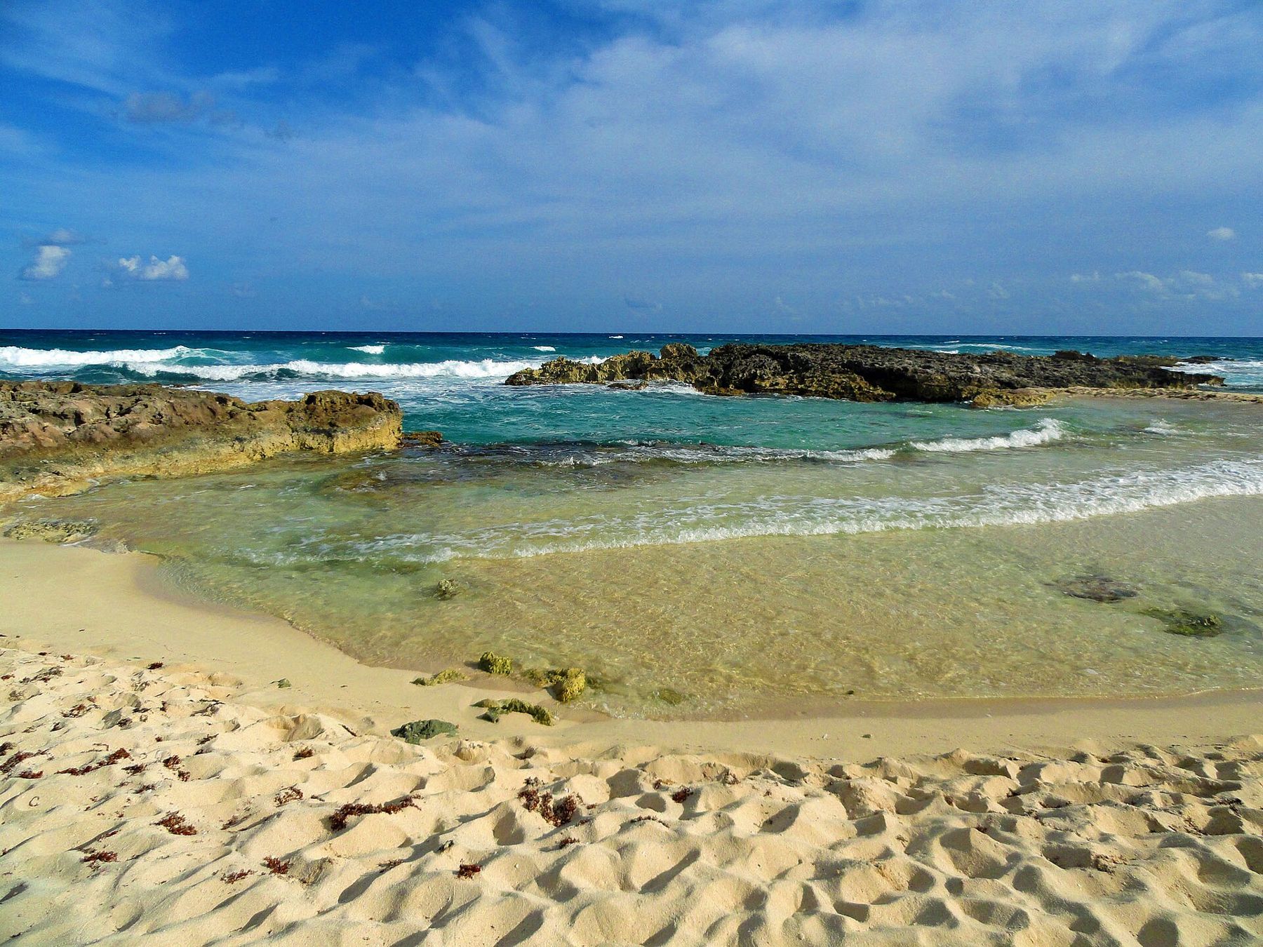
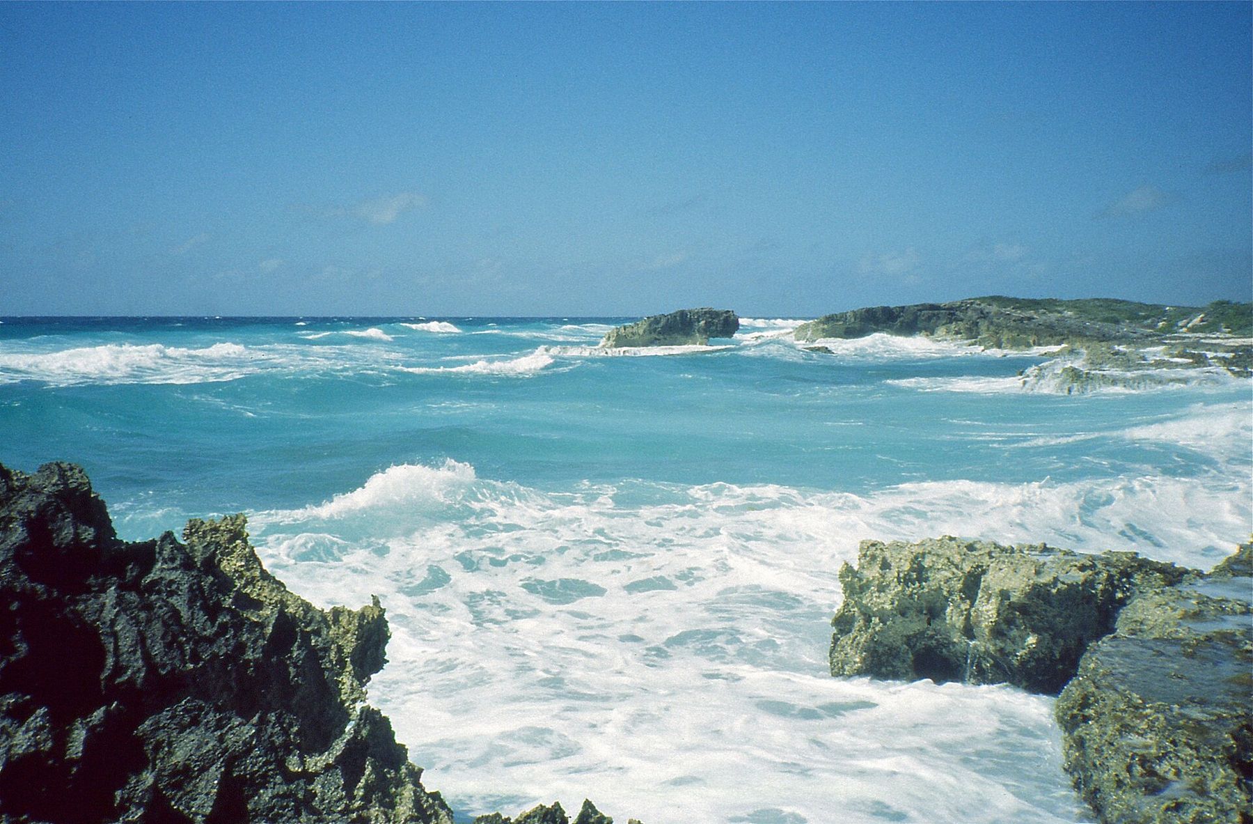
Seen from the shore, though, it is the most dramatic side of the island. Waves break on limestone ledges, spray fills the air, and long empty beaches run between rocky points. It is worth a drive, a walk and a long look.
Why the reefs are on the west
Cozumel sits in the path of the trade winds, which blow from the east for much of the year. The east coast takes that wind and the swell it builds across the open Caribbean. The west coast lies in the island's shelter, facing the narrow channel to the mainland.
That shelter is why the dive sites are almost all on the west side. Boats can launch, drop divers and pick them up in calm water there. On the east side, the swell would make that difficult or impossible on most days, and the reef there grows in shallow, wave-beaten water rather than as the tall towers and walls of the west.
The channel between Cozumel and the mainland also carries the current that makes west-side diving a drift. The east side gets the open sea instead.
Surf and rip currents
The danger on the east coast comes from three things working together. Surf breaks on the beaches and over shallow rock, knocking swimmers off their feet. Rock shelves along the shore are sharp and hard to climb out on. And rip currents form where water piled up by the waves flows back out to sea, often through gaps in the rocks or reef.
A rip can carry even a strong swimmer away from the beach quickly. If you are ever caught in one, the standard advice is not to fight straight back towards shore but to swim across the current, parallel to the beach, until you are free of it, then come back in. Better still is never to need that advice.
A few sheltered coves can be calm on still days, and you may see people wading in them. Whether it is safe changes from hour to hour. If you are not sure, stay out; a paddle at the water's edge is as far as most visitors should go.
The coast road
The cross-island road runs from San Miguel to the east coast, and from there a coastal road follows the shore south towards the southern tip. North of the junction the road becomes a rough track that is not suited to ordinary rental cars and has been closed at times; check current conditions before trying it.
The southern stretch is paved and quiet, with long views of the sea, a few roadside stops and long empty stretches with no services. Fill the tank before you leave town, carry water, and expect patchy phone signal. Scooters are common, but the wind on this side can be strong and gusty; ride carefully.
Following the road south brings you eventually to the island's southern end; the entry on Punta Sur covers the park, the lighthouse and the lagoon there.
Punta Morena and the beaches
Punta Morena is one of the best-known spots on this coast: a sandy beach between rocky points, with reef rock breaking the waves close to shore. On a still day the water inside the rocks can look calm. In heavy surf it is anything but, and the rule here is the same as elsewhere: look first, and only go in where it is plainly safe.
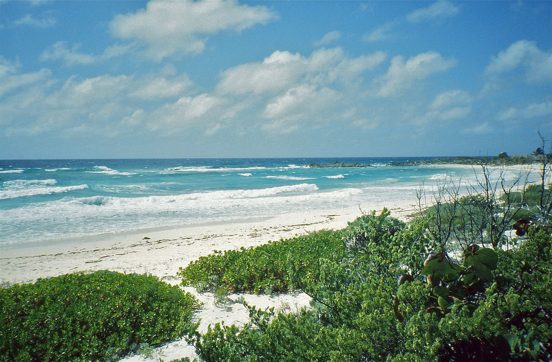
Other beaches along the road are wide, empty and backed by dunes and low scrub. They are good for a walk, for the view and for watching the surf. Some have beach bars or simple restaurants; many have nothing.
Sea turtles nest on parts of this coast in the summer months. If you see marked nests or protected areas, keep clear, keep lights off the beach at night, and follow any signs.
Conditions by season
The trade winds are steadiest for much of the year, so surf is normal on this side even on sunny days. In the cooler months, the nortes can shift the wind and the sea around the island; in hurricane season, roughly June to November, storms can bring large swell. The entry on water temperature, visibility and sargassum by month has the general seasonal picture.
Sargassum seaweed has also reached this coast in heavy amounts in some years, piling on the beaches. How much there is changes from year to year and month to month.
Whatever the season, give yourself time on this side. Sunrise over the open sea is the best light of the day here, the wind keeps the heat down, and on a weekday morning you can have a long stretch of beach almost to yourself. Pack shade, water and patience, and treat the drive as the outing rather than a route to a swim.
Where to swim instead
If the east coast has you wanting to get in the water, head back across the island. The west coast has calm shore entries, public beaches and the park at Chankanaab, where steps lead straight into clear water over reef.
On the east side, treat the sea as something to watch. Conditions change daily, flags and signs are there for a reason, and no view is worth a swim in the wrong water.
Who shot these frames
- Felipe de la Fuente Díaz (Felipedd), CC BY-SA 3.0
- Bernard DUPONT from FRANCE, CC BY-SA 2.0
- Bernard DUPONT from FRANCE, CC BY-SA 2.0